Common Mistakes That Delay Development Applications in Newcastle

Set Your Project up for a Faster Newcastle Assessment
A delayed application can hold up finance, disrupt builder schedules and leave you waiting while market opportunities move on. In our experience, many delays begin before lodgement, when site information, plans and reports are prepared separately rather than checked as one coordinated package.
Early development application planning in Newcastle gives you room to identify planning controls, site limits and consultant requirements before design choices become hard to change. Allow time for a proper survey, planning review, civil input and document preparation. Trying to solve these issues after council has reviewed the plans often means amendments, new reports and more waiting.
It is also important to choose the right approval pathway. Generally, development applications are assessed by council, complying development may follow a faster approval route when strict standards are met, and exempt development covers limited low-impact works. We recommend confirming the pathway before committing to a design, as an incorrect assumption can lead to redesigns or an application that cannot proceed as lodged.
Spring can add another layer of planning. Rain, fast vegetation growth and the lead-up to bushfire season may affect site access, inspections, stormwater investigations and erosion controls. Sites across Newcastle can look very different after wet weather, so field information should reflect actual conditions rather than assumptions.
Confirm Zoning and Controls Before Designing
A design can look right on paper yet still be unsuitable for the land. Before purchasing a site, preparing detailed plans or engaging a builder, we suggest checking the relevant local environmental plan, zoning and permitted uses. This helps ensure the proposed development has a sound planning basis from the beginning.
Common design issues often involve:
- Building height and the way it is measured
- Boundary setbacks and building separation
- Floor space ratio, site coverage and landscaped area
- Oversized garages, decks, retaining walls or outbuildings
- Development that does not match the intended land use
Some variations may be considered in the right circumstances, but they need a clear planning justification. A proposal that depends on variations can take longer to assess, particularly where the drawings do not clearly explain why the design remains appropriate for the site.
Local constraints also need early attention. Flood-prone land, bushfire-prone land, heritage items, heritage conservation areas, biodiversity matters and coastal influences can all shape what is practical. Rather than treating these as late compliance checks, we encourage you to build them into the concept design from day one.
Submit Evidence That Matches the Site
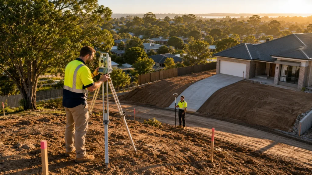
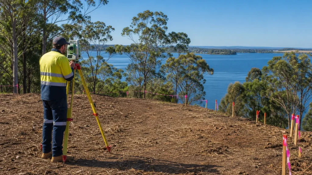
Accurate site information is the foundation of a reliable application. Old title details, assumed boundaries and incomplete measurements can create serious design problems once work is underway. A detailed land survey can confirm boundaries, structures, levels, easements, visible services and other features that affect where a building, driveway or drainage system can sit.
Plans also need to agree with each other. We regularly see questions arise when architectural drawings, site plans, elevations, shadow diagrams and stormwater plans show different dimensions, orientations or building footprints. Council should not need to guess which drawing is current.
Claims about the site should be backed by clear information. For example:
- Contours and levels can support drainage and stormwater design
- Site photographs can show streetscape and neighbour context
- Vehicle turning diagrams can help explain access on tight sites
- Vegetation information can support proposed removal or retention
- Clear plans can show how parking and access will work
Coordinated surveying, civil engineering and town planning input helps reduce conflicts between documents. When each consultant is working from the same reliable base information, the final package is easier to assess.
Coordinate Referrals, Services and Supporting Reports
The reports needed for a development application depend on the land and the proposal. A straightforward project may need fewer documents than a constrained site, but missing information can stop an application from moving forward while further material is prepared.
Depending on the circumstances, supporting documents may include a statement of environmental effects, stormwater concept, traffic assessment, bushfire assessment, contamination investigation, arborist report, acoustic report or heritage advice. Identifying likely reports early means the design can respond to their findings instead of being changed after lodgement.
Services and easements deserve the same care. Building over, or too close to, water, sewer, electricity, gas or telecommunications infrastructure can affect building footprints, driveways, retaining walls and excavation. Utility locating and service investigations can reveal potential conflicts before final plans are locked in.
Some proposals also need input from agencies, utility providers or referral bodies, especially where road works, drainage, bushfire-prone land or servicing infrastructure are involved. Incomplete referral details can extend the assessment period when amended plans or more technical information are requested.
Prevent Portal Errors and Late Information Requests
The NSW Planning Portal is not simply an upload step. Missing owner’s consent, incorrect ownership details, unclear file names or outdated drawings can delay validation before assessment has properly begun. We recommend checking that the development description matches the submitted drawings and that every required report is included.
A strong statement of environmental effects matters too. Generic wording can leave assessing officers with unanswered questions about the site, applicable controls, environmental impacts, neighbour considerations and the reasons the proposal is suitable. The statement should explain the actual development proposed, not just repeat broad planning language.
Requests for information are common, but late or partial responses can push an application back in the queue. Effective development application planning in Newcastle includes allowing time for possible amendments, updated drawings and consultant responses after lodgement. A prompt, complete reply is usually far more useful than sending one document at a time.
Take the Next Step Before Your Plans Reach Council
Faster approvals are not about rushing documents. They come from reducing uncertainty before submission, with a feasibility review that considers planning controls, survey data, site constraints, services, stormwater and supporting reports.
For projects planned during the spring construction period, it is wise to account for weather, site access and time needed for specialist investigations. A coordinated review before plans reach council can help you make informed design decisions while changes are still manageable.
Move Your Application Forward With Confidence
Metiri provides practical guidance for development application planning in Newcastle, helping you address key requirements before they become costly setbacks. Our team can review your proposal, clarify the planning pathway and coordinate the information needed for a stronger submission. Contact us to discuss your project and the next steps.