Should You Pursue Subdivision Planning in Maitland?

Should You Pursue Subdivision Planning In Maitland?
Subdivision planning in Maitland can help you unlock land value, create room for family, or support a staged development. Still, dividing a block is much more than drawing a new boundary line. We start by looking at what the land can safely support, what planning rules allow, and whether services can reach the proposed lots.
Whether you own a family property, are considering a dual occupancy, or are assessing a larger holding, early checks can save difficult surprises later. Spring is also a useful time to inspect a site after winter rainfall, when drainage paths, vegetation, access and ground conditions may be easier to understand.
Turn a Maitland Block Into a Clear Development Plan
A promising idea needs a practical plan behind it. Before you commit to designs, applications or construction, we look at the land itself and the controls that shape what may be possible.
Some blocks appear suitable at first glance because they are large, flat or well located. Yet an easement, narrow frontage, steep fall, drainage issue or service limitation can change the layout quickly. By bringing surveyors, town planners, civil engineers and utility locators into the early review, we can identify matters that need to be addressed before major decisions are made.
For many owners, subdivision planning is about creating choices. You may wish to retain an existing home and create another lot, make room for future housing, or prepare land for a later stage of development. The right path depends on the site, your goals and the approvals that apply.
Test Whether Your Site Can Support a Subdivision
Physical site conditions set the starting point for subdivision planning in Maitland. We assess more than lot area because a workable subdivision also needs safe access, sensible lot shapes and space for drainage and services.
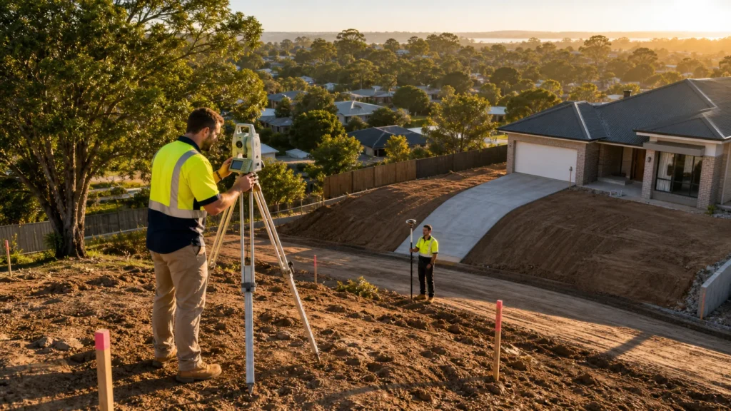
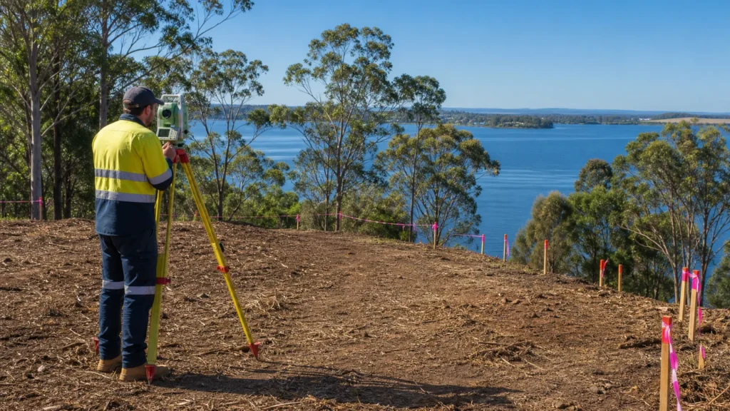
A feature and level survey is often one of the first pieces of work we suggest. It provides accurate information about boundaries, contours and visible features, allowing the concept layout to respond to the land rather than assumptions.
Survey information can help us identify:
- Existing buildings, fences, driveways and retaining walls
- Slopes, drainage lines and low-lying areas
- Trees and visible site features that may affect design
- Easements and practical access points
- Signs of visible services or infrastructure
Due diligence should also consider flood exposure, bushfire risk, contamination, heritage matters and constrained land. A block may look large enough on paper but have less usable area once setbacks, hazards and construction needs are considered. By testing these issues early, we can give you a clearer picture of whether the idea is likely to be practical.
Understand Maitland’s Planning Rules and Constraints
Planning controls guide the type of subdivision that may be considered on a property. In Maitland, zoning, minimum lot size, development standards and local controls can differ between established residential areas, rural land and growth precincts.
We review the relevant Local Environmental Plan, Development Control Plan and applicable state requirements as part of the planning assessment. These documents may influence matters such as lot dimensions, frontage, private access, landscaping, stormwater treatment and infrastructure contributions.
Not every project follows the same approval path. Some proposals need development consent, while others may be assessed through a different process. The likely pathway can affect the reports, plans and supporting information required, as well as the expected assessment period.
Town planning advice early in the process helps us test the concept against current controls. It also helps you avoid building a layout around assumptions that may not be supported by the planning framework.
Plan for Servicing and Construction Requirements
Land value and purchase price are only part of the feasibility picture. We encourage owners to account for the full range of work that can sit behind a subdivision, from early investigations through to title registration.
Project allowances may need to cover:
- Land surveying, planning assessment and civil design
- Utility locating and specialist site reports
- Council applications, certification and legal processes
- Water, sewer, electricity, telecommunications and stormwater works
- Driveways, retaining walls, drainage works and site construction
New lots need practical access to services. In some cases, existing networks may have limited capacity, or the connection point may be difficult to reach. Service extensions, drainage upgrades and utility conflicts can affect the layout and construction approach.
We also allow for the possibility of unexpected site conditions. Rock excavation, poor ground, wet areas or hidden services can lead to extra design and construction requirements. Early feasibility work helps you compare those likely commitments with the expected outcome of the project.
Sequence Surveys, Designs and Council Approvals
A clear sequence keeps subdivision planning organised and gives each consultant the information needed for the next stage. While every site is different, we commonly work through a process like this:
- Initial feasibility review and title information check
- Feature and level survey, followed by planning assessment
- Concept subdivision layout and utility investigation
- Civil design and development application preparation
- Construction, subdivision certification and new title registration
Survey data guides the concept from the beginning. It helps us position lots, access, driveways and drainage works around the actual shape and levels of the land. Our civil engineering work then shows how the proposal can manage stormwater, vehicle access and servicing in a safe, buildable way.
Spring site investigations can be particularly helpful after winter rain. They can reveal how water moves through the property and show access or vegetation conditions that may not be as clear in drier periods. Even so, the wider program should allow for weather, contractor availability and council assessment time.
Make Decisions Before Committing to a Layout
A site feasibility review brings together the details that matter before an application is lodged or construction planning begins. We can assess survey needs, planning controls, civil requirements and utility information together, rather than treating each item as a separate issue.
Before seeking advice, gather your title documents, any existing plans, rates information and a simple outline of what you hope to achieve. Starting with clear goals and reliable site information makes it easier to confirm what can be approved, serviced and built.
Make Your Next Planning Decision Clearer
Metiri can help you assess the practical considerations behind subdivision planning in Maitland, from feasibility through to the approvals process. Our team provides measured advice tailored to your property and intended outcome. If you would like to discuss your options, contact us to arrange a conversation.