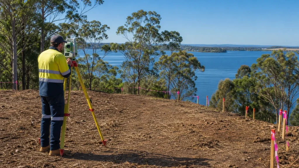
Detail Surveys Vs Boundary Surveys for Maitland Projects
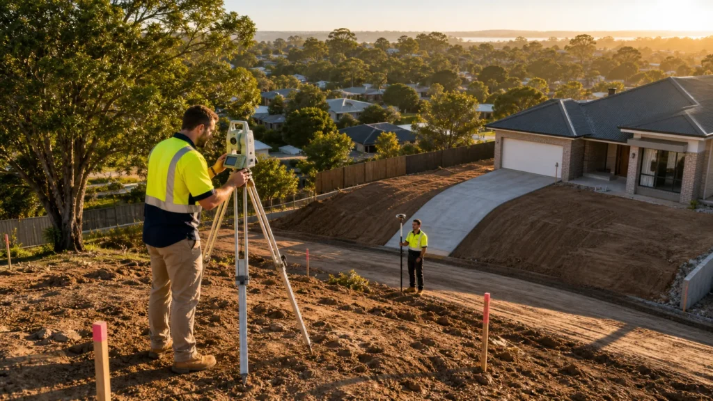
A survey is often the first practical step in a successful build, renovation, subdivision or infrastructure project. The right survey gives your project team a clear starting point, while the wrong one can lead to design changes, approval delays and avoidable construction risks.
For Maitland properties, the choice usually comes down to a detail survey, a boundary survey, or both. We help you understand the difference early, so your designers, builders and planners are working from information that suits the job.
Start Your Maitland Project with the Right Survey
A detail survey records the visible features and ground conditions of your site. It gives designers a reliable base for plans by showing terrain, buildings, drainage features, vegetation, visible services and other physical constraints.
A boundary survey serves a different purpose. It establishes the legal property boundaries, finds relevant survey marks and checks whether fences, structures or other improvements line up with the title boundary.
Maitland sites can vary widely, from established residential blocks to growing development areas, flood-affected land and larger rural-residential properties. Because each setting brings different issues, we recommend discussing the project scope before survey work begins. That early conversation helps us determine what information your team needs now, and what may be needed later.
What a Detail Survey in Maitland Reveals
A detail survey in Maitland captures the existing conditions across a property. The exact scope depends on the proposed works, the size of the site and what needs to be designed, but it commonly records features such as:
- Contours, spot levels and changes in ground height
- Buildings, driveways, fences and retaining walls
- Trees, kerbs, drainage pits and road features
- Overhead power lines and visible utility assets
- Surface drainage paths and other site constraints
This information gives engineers, architects, builders and town planners a clearer view of what is already there. Accurate levels can help us assess building placement, vehicle access, cut and fill, accessible paths and stormwater flow. Feature locations can also highlight potential conflicts between proposed works and existing structures or infrastructure.
Importantly, a detail survey is not usually a legal boundary determination. It may show a fence or another occupation feature, but that does not mean the feature sits on the true title boundary. Where legal limits matter, we recommend treating the detail survey and boundary survey as separate pieces of project information.
When a Boundary Survey Protects Property Rights
Visible fences can be useful reference points, but they are not proof of ownership lines. Older fencing, informal driveways and previous structures may not match the legal boundary shown on title records.
For a boundary survey, a registered land surveyor reviews title information, deposited plans, survey records and existing survey marks. We then assess the available evidence and reinstate or mark boundaries in line with NSW surveying requirements.
A boundary survey may be appropriate when you are:
- Building close to a side or rear boundary
- Replacing a fence or dealing with neighbour uncertainty
- Buying land or checking a possible encroachment
- Planning a subdivision or access arrangement
- Reviewing whether an existing structure aligns with the title
Finding a boundary issue after plans are approved or construction has started can be disruptive. It may mean redesign work, discussions with neighbours or the need for further advice. Confirming boundaries before final plans are locked in gives your project team a dependable reference for setbacks, structure locations and access.
Why Some Projects Need Both Surveys
Detail and boundary surveys are not interchangeable. A detail survey is generally the practical design tool, while a boundary survey provides the legal property reference. Many projects need both to give the full picture.
For example, a rear extension may need existing levels and drainage details so the design can manage stormwater and floor heights. If that extension will sit near a fence line, a boundary survey may also be needed to confirm where the legal boundary actually is.
The same applies to larger work. A developer preparing a subdivision may need detailed topographic data for civil design, as well as verified boundaries before subdivision plans are prepared. New dwellings, dual occupancies and commercial projects can also benefit from combining the two survey types early.
We often coordinate survey scope around the stage of the project. Early feasibility work may begin with available mapping and a detailed site survey. Final design, approvals and construction set-out may then require boundary confirmation or further survey information. This staged approach helps you gather the right information without assuming one survey answers every question.
Plan Around Spring Conditions and Site Constraints
Spring can be a sensible time to organise site survey work before summer construction schedules become busier. It gives your project team time to collect information, progress design decisions and identify site issues before applications are lodged or earthworks begin.
Recent rain can make drainage behaviour easier to see, particularly where water collects in low areas or follows overland flow paths. Vegetation growth may also affect access and visibility across parts of a property. During fieldwork, we consider observable features such as drainage structures, ground levels and site conditions that may influence future stormwater design.
Clear project information helps us scope the work properly. Before fieldwork, it is helpful to share proposed building areas, planned driveway access, available title documents, previous plans and any known service information. In some cases, utility locating may also be appropriate alongside the survey work.
Choose Information That Supports Confident Decisions
The best survey choice depends on what you are planning, where it sits on the site and how far the project has progressed. Detail surveys support practical design decisions, while boundary surveys provide confidence around legal property limits. Together, they can reduce uncertainty before it turns into a design or construction problem.
Before committing to plans or site works, make sure your project team understands both the physical conditions of the land and the legal limits of the property. Starting with clear, fit-for-purpose survey information makes it easier to coordinate design, approvals and construction with fewer surprises later.
Get Survey Information That Supports Confident Decisions
At Metiri, we help project teams select survey services that suit their site, design and approval needs. Arrange a detail survey in Maitland to obtain reliable information for the next stage of your project. If you would like to discuss your requirements, contact us and our team will assist.